
 |
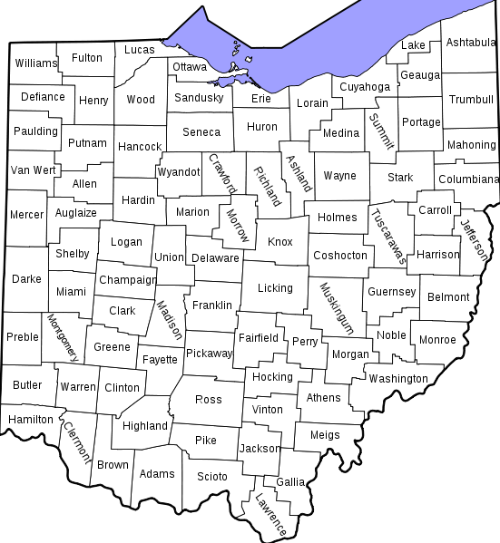
| Ohio Counties, Hamilton vs. Perry |
Townships, Cities, Counties
To narrow our research we must take note of the county, city and township. A good example is Reading township in Somerset, Ohio. A simple google search of Reading Ohio, takes you directly to Hamilton, County. In my case, this was the wrong Reading. Let’s not confuse Reading Ohio in Hamilton County (far south west side of Ohio) with Reading township in Somerset Ohio located in Perry County (east central). Identifying the township will help you research your ancestor’s land plats and other genealogical records.
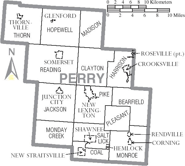 |
| Reading Township in Somerset, OH. Perry County |
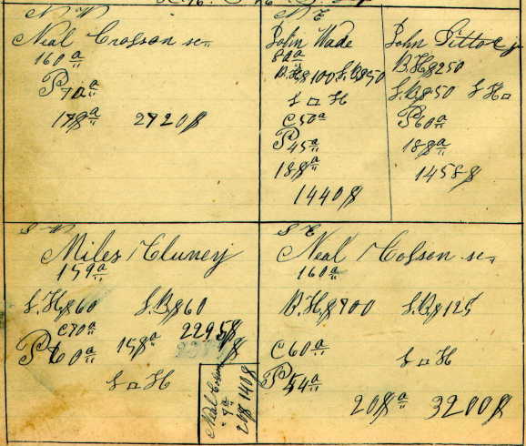
Some researchers look at land plats just to mark ancestors’ names. But they actually can give us so many additional genealogical hints: 1) Take note of the neighbors. Our early immigrant ancestors often moved in clusters. By noting their neighbors, you may find a migratory pattern, especially if they disappeared by the “next census.” This is when you should do a search on the full cluster to find your ancestor. Another good reason to take note to the neighbors? They are often parents, sibilings or cousins. 2) Find Female Ancestors through Proximity. Often sons and daughters don’t move far. A tip to finding female family members is to check neighboring households. Father’s often gave (or sold) land to son-in-laws, and so that missing daughter might be right next door. And son-in-laws may parcel out land for the wife’s family. Of course this is just a clue, you must research suspecting females to confirm parentage. But, if you are looking for a Bridget (like I was) there were two in the county; one living in the household right next to ‘ole Dad. Voila! 3) Where Were Ancestors Between the Census. Speaking of “next census” land plats help us narrow spans between census, to determine when an ancestor settled in a new county. The 1846 census identified my family and their 80 acres. Now I can further research the deeds, plus I know the township, range and section (Township 16, Range 16, Section 22).
 |
| 1846 Reading Plat Map: Township16; Range16; Section 22 |
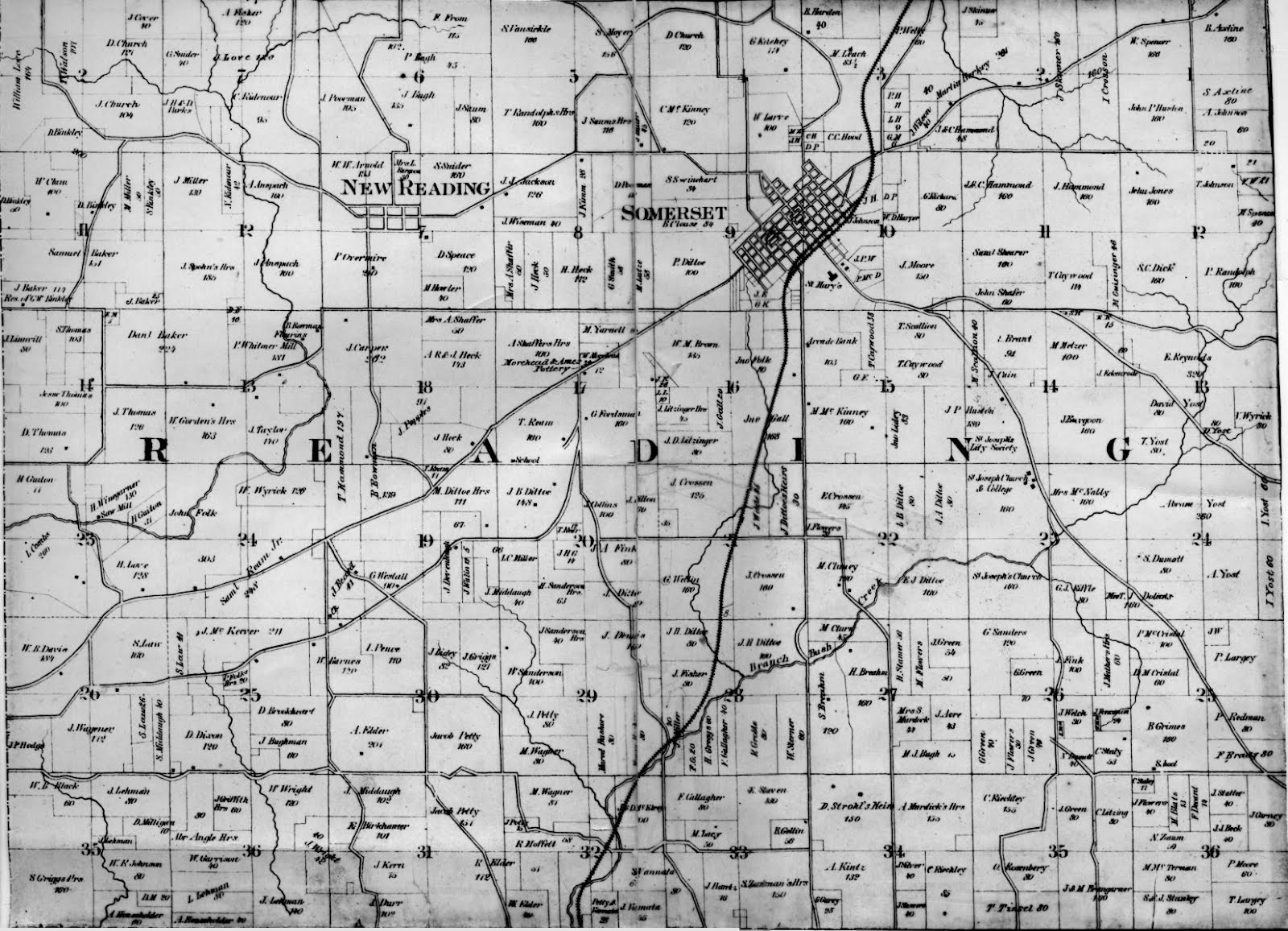 |
| 1875 Reading Township Parcel Map |
Perry County Research
If you too are doing Perry County Research, a great place to start your search is at the Perry County Ohio US website.
Kathleen Brandt
a3genealogy@gmail.com
Thank you, Kathleen, for your blog article and the useful hints.
ReplyDeleteYour blog is a coincidence for me as, of Ohio’s 88 counties, my maternal family immigrated to Perry co. (in 1881.) Also, as I have questions about how immigrant miner-laborers acquired a old, sizable farm in Perry co, which will require some research of the county’s land records.
Thank you again for your hints, Kathleen (which coincidently is also my wife’s name!)
Charles, thanks for following a3Genealogy.And yes, the land deeds will tell you a lot, but also remember to research the old newspapers. We can get a lot of "community gossip" from them.
Delete